September 2020
It had been some time since our last road trip and with the weather starting to warm up we decided that it was about time for another trip. Although this time we decided to go a little further a field and try and squeeze in an entire lap of Tasmania in just seven days. The day we left for our road trip we didn’t leave until the late afternoon but when we finally left we didn’t dawdle and headed straight for Tassie’s east coast. The plan was to keep driving until the sun went down and then find somewhere nearby to camp. However the sun set and with no good places to camp we decided to drive all the way to the Freycinet Peninsula and camp at the national parks Friendly Beaches campsite.
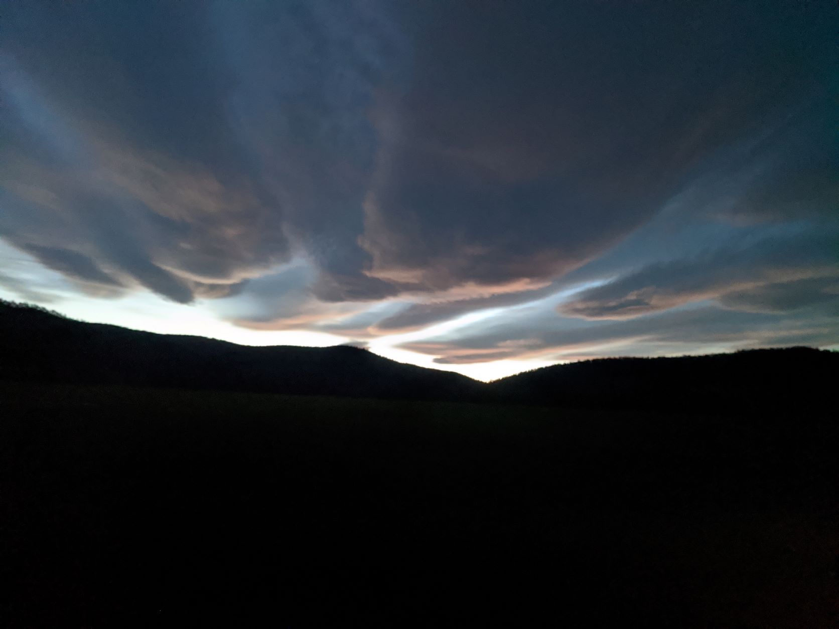
When we arrived there was about a dozen other campers and ample empty campsites for us to choose from. Being that it was dark when we arrived we didn’t do any exploring that evening. Instead we went straight into setting up our camp for the night and eating a late dinner which was accompanied by several encounters with some curious wallabies and possums. However the following morning we were up bright and early, keen to do some exploring of the area before heading off. Our campsite was only about 100m from the Friendly Beaches beach so following breakfast we had a quick walk along the water marvelling at some of the pink colours in the sky left over from sunrise and the beautiful coastline.
Following our walk we decided to return to the car and keep on driving, aiming to continue our way along the Freycinet Peninsula. Along the way we stopped at multiple places to take in the view and complete a couple of short walks. First we drove out to the Cape Tourville Lighthouse and enjoyed a lovely short walk on a boardwalk along the cliff face that led to the top of the hill where the lighthouse was located. While on this walk we had the entire place to ourselves and had the pleasure of seeing a whale breaching below us as we walked along the boardwalk. Following this walk we then completed a second trail which led out to Sleepy Bay. This was a short out and back track and since we had much more we wanted to do that we day we didn’t dawdle too long and once we saw the beach we wasted no time in returning to the car, quickly realising that we could spent an entire week just exploring the Freycinet Peninsula.
Once back at the car we decided to continue our tour of Tasmania. In hindsight this was a very rushed trip but we were using this road trip as recon, having every intention to do a more thorough exploration on the areas we enjoyed the most later. So that day we continued driving, stopping in Coles Bay for morning tea before continuing onto the Douglas- Apsley National Park. However before arriving at the park we did have a quick stop in at Bicheno and a drive along the towns foreshore. With all our little stops it was about midday when we finally arrived at Douglas-Apsley and so decided to only do the short walk out to the Apsley Waterhole. However this was a beautiful little walk though a very dry forest. When we arrived at the waterhole we were the only people around and spent a bit of time admiring the rivers blue water but both agreed that it was still a little too close to winter to even think about going for a swim.
Following our walk we returned back to the car aiming to make some miles that afternoon because we wanted to camp that night in Musselroe Bay which was still about 150km away. However as usual with a road trip this wasn’t a direct route as we drove through each of the towns along the way and occasionally stopped near boat harbours to see what was available for our own yacht. Although eventually the towns ran out and the further north we travelled the more remote the countryside started to feel. The last couple of hours that day were spent just enjoying driving on the open road through Tasmanian farmland.
When we arrived at Musselroe Bay we originally headed to a spot called Top Camp on the north eastern edge of Tasmania. However it wasn’t long after we arrived that we decided to leave. The camp spot was beautiful, with a gorgeous white sandy beach only meters from the campsite and wallabies hopping around and foraging in the grasses. But the only problem was the noise from the nearby wind farm and the zero protection we had from the prevailing wind. So with a couple of hours to spare before sunset we decided to find somewhere else to set up camp for the night. In the end we ended up driving an extra 40km to Petal Point on Cape Portland.
The campsite at Petal Point was yet another beautiful spot and offered a free camp ground right near the waters edge. Once again it was fairly late when we arrived so we saved the exploring of the surrounding area until the following morning. We had chosen the campsite closest to the waters edge so the first thing we did the following morning was head to the beach and rock hop our way along the waters edge until we came to the very tip of the headland. Once there we then found that there was an overland track on the top of the head land which took us back to the campsite. Petal Point was a beautiful little grassy headland with a couple of islands off the beach and following our morning walk we headed back to the car to start our day of driving.
The first place we visited that day was Little Mussleroe Bay and enjoyed another short walk around its head land as Hugo was keen to see if we could get Allagai up its little river. When we arrived at the rivers entrance we decided that it would be doable in the right conditions but probably wouldn’t be something we’d do if we didn’t have to as the entrance looked quite tight and shallow. So following our second beach walk and rock hop for the day we headed back to the car. At this point in our road trip we had travelled as far north as we could possible go so it was time to start heading west. But first we travelled south a bit and visited a little known tourist attraction called the Little Blue Lake which I had come across in my Google maps search.
When we arrived at the Little Blue Lake we were stunned by what we saw. The lake was actually an old disused mine which had filled with water. But what made the place unique was the colour of that water, which was the most stunning unnatural turquoise blue colour I’ve ever seen. Apparently the colour was caused from the exposure of white clay during the tin mining process which then reflects the sky. But the day we were there it was overcast and cloudy and even though there was no blue sky to reflect we still had an amazingly blue lake. We spent about an hour wandering around the lake, admiring the colour and the dry forest we were walking through before returning to the car.
Following out little side stop at the lake we continued our loop of Tassie travelling as close to the coast as we could with quick stops in the towns of Tomahawk, Bridport and finally George Town. It was while we were in George Town that we stopped for lunch and decided that while we were in the area we might as well go for a drive out to Low Head. This was for yet another boat related curiosity as we were pretty certain that at some stage we would have Allagai up this way and wanted to see what the entrance to the Tamar River looked like. When we arrived at Low Head we enjoyed a quick tour of the town and got the view we were looking for of the entrance to the Tamar River.
By now it was starting to get late in the day and we still wanted to go via Launceston before finding camp for the night. So after seeing what we wanted in Low Head we turned around and headed for Launceston. That day we crossed the Tamar River using the Bateman Bridge although instead of heading straight to Launceston we made a quick side trip to Beauty Point, which was a little ways down river, because it seemed our road trip was turning more into a recon mission for places we could potentially take Allagai then sight seeing. But as soon as we saw the marina and boat ramps at Beauty Point we made a beeline to Launceston using the coast road as much as possible.
This was turning out to be a very long day and so by the time we reached Launceston it was peak hour and we didn’t really feel the need to stop in such heavy traffic. So instead we did a quick lap down the main street of Launceston and kept on going without stopping. That afternoon we had decided that we wanted to camp that night at a place called Liffey Falls Campground which was still about an hour away. This meant that to arrive before dark we couldn’t have any more stops or distractions. However once we were out of the business of Launceston we were able to increase the pace meaning we were pulling into the campsite just as the sun was disappearing below the hill. This was quickly becoming my favourite camp spot as we picked our campsite and unpacked the car in the fading light.
This camp ground was situated in a small forest tucked away at the base of a mountain and the site we had chosen to camp in was on the edge of a stream which gurgled away next to us all night. This was completely different to all the places we’d camped at so far because we’d gone inland for the first time in days. When we woke the next morning it was to the song of birds in the trees above us and the sound of the babbling stream. The first thing on the agenda that morning was to complete the walk to Liffey Falls. There was two options to do this walk, option one started at the camp grounds we were in but was much longer and option two was to drive to a nearby trail head which placed you only 100m from the falls. Given that we still had a long way to go in our road trip we decided to take the easier lazy option and so used the car to drive to the shorter trail.
Since it was so early when we arrived we had the entire track to ourselves and spent an hour walking the trail and marvelling at the waterfall. Liffey Falls was more of a river with lots of mini falls along it however this created an absolutely stunning walk. All up there was three or four separate waterfalls which you could see from the track, each as beautiful as the last. I could have spent hours watching the waterfalls at Liffey but eventually Hugo had to drag me back to the car so we could see more of the wonders of Tasmania.
That day we decided that since we were already inland and not far from the Great Lakes that we’d go for a quick visit. This little detour wasn’t really on our itinerary as it really deserves a whole week to itself in exploring and was a little off the circle route track. However being so close we couldn’t resist a quick visit and were stunned by the views we saw. We only got as far as a lookout point above the Great Lake however the view was stunning and since this was to be our only look we decided to stop here for morning tea to spent more time taking in the breathtaking view. From our vantage point we could see the lake below us and wished we had more time to visit the area properly, however we’d only brought enough supplies for a week and that week was quickly disappearing.
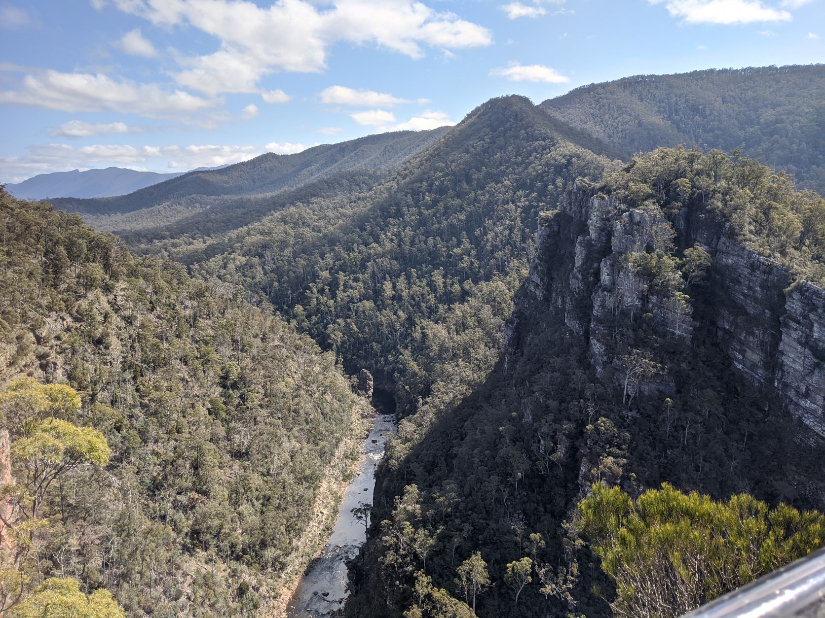
Following our view of the Great Lake we returned along the road we’d just driven up and aimed back for the coast. That day we were aiming to camp on Tassies far north eastern corner near the town of Stanely which was about 200km away. However we still had an entire afternoon so decided to use that time to squeeze in another walk to visit the Alum Cliffs. The walk out to the cliffs was a fairly short walk and only took us about an hour to complete. The track lead to a lookout point high above a river bordered by a towering cliff face and high mountains. We were amazed that only a kilometre from the road there was this sort of spectacular scenery as the track leading to the lookout really didn’t do the view justice.
After our quick stop at Alum Cliffs we the bee-lined it to the coast and drove through the towns of Ulverstone, Penguin and Burnie. It was at Burnie that we had a short break from driving and refueled the car and stopped for afternoon tea. But after out pit stop we had to keep going as Stanely was still a little ways away. After Burnie we took the highway along the coast and had spectacular views in the fading afternoon light of the nearby ocean and of a big headland in the distance known as ‘The Nut’. That afternoon we stopped a little short of Stanely, deciding to camp in a campsite just a little east in the Pegg’s Beach Conservation Area. The was another beautiful little campsite run by Parks Tasmania. When we arrived there were still plenty of camp sites to choose from so naturally we selected a site within walking distance of the beach. This was the first camp that we’d arrived at with daylight to spare so we wasted no time in going for a quick exploration before it got dark.
With the beach only a short walk away this was where we headed and were amazed by what we saw. Northern Tasmania is known for its large tides compared to the south and it seemed that we’d arrived right on the low. The beach was less beach and more river as a small stream of water was all that could be seen amongst the huge sand flats. We decided to try walking to the oceans edge but in the fading light we quickly gave up and instead decided to just sit back and enjoy the sunset which was setting over the far side and lighting up The Nut in the distance.
The following morning we woke to conditions that we hadn’t seen all week, it was raining and a heavy fog had descended. That day we’d had high hopes to travel into Stanely and walk up the trail to the top of The Nut. But upon arriving in Stanely we quickly threw that plan out the window as it was still raining and the top of the hill was shrouded in thick mist. So instead we put this walk on the bucket list for the future, thankful that we’d seen it the day before in such clear weather. With our morning seemingly freed up we decided to do some driving around the peninsula Stanely was located on and found ourselves at the Highfield Lookout. But with such heavy mist we really couldn’t see much so decided to leave the area in search of clearer skies and so started heading west towards the Hunter Island Group.
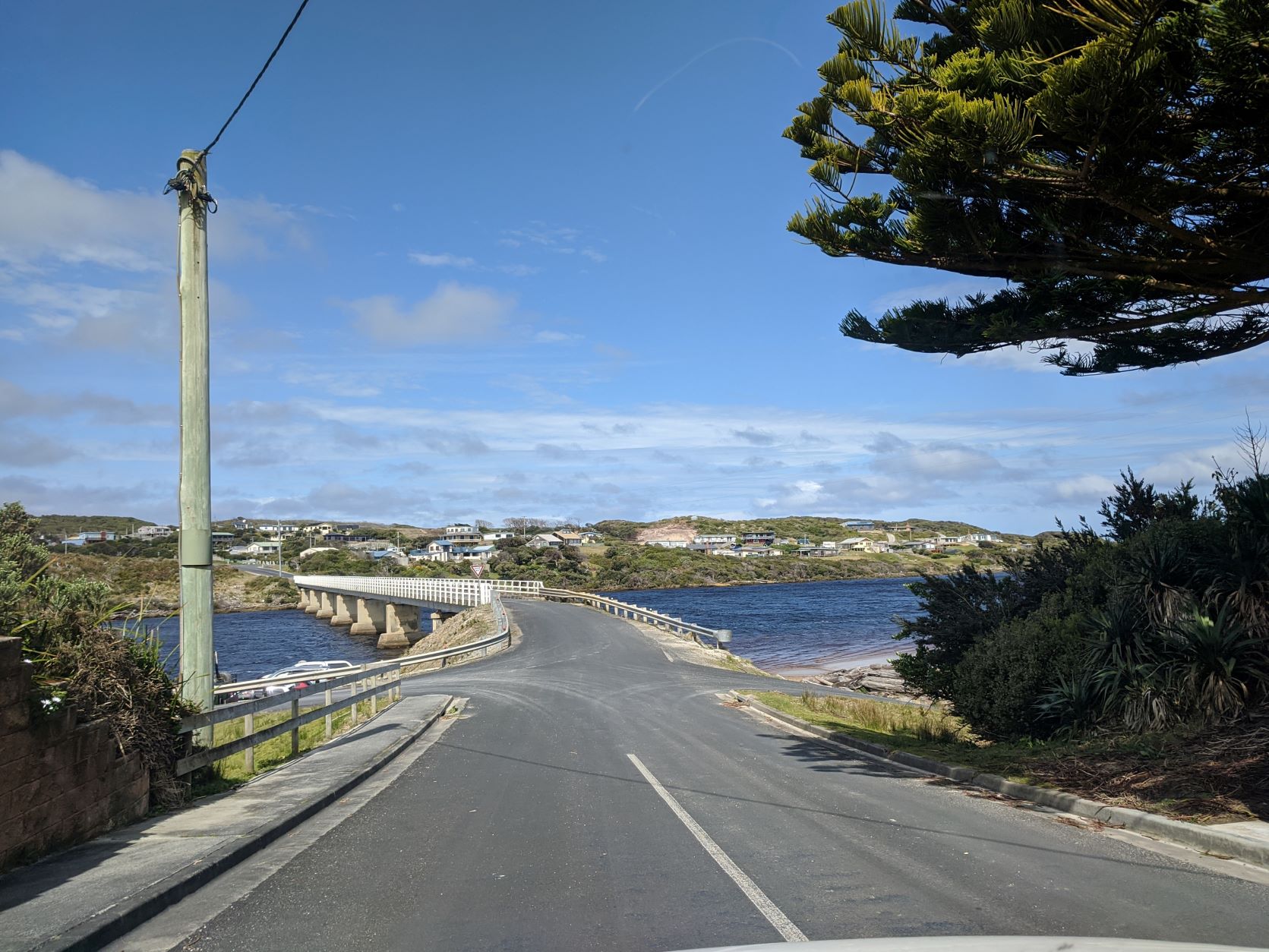
That morning we ended up at a boat ramp that looked out to Robbins Island and were amazed by the sheer force of the current. Being such a tight passage we weren’t overly surprised but now knew that this stretch of water could only be entered at the right time in the tide. Following this quick stop we were ready to start turning south as we had all but exhausted the road in the westward direction. From here on out we were entering the rugged and wild western Tasmania and so started making miles for the town of Arthur River which was the entry point to the west and had the only bridge to cross the actual Arthur River. We reached Arthur River about midday after a brief stop at a lookout at Bluff Point Lighthouse where we could see the huge swell of the Southern Ocean crashing into the coast.
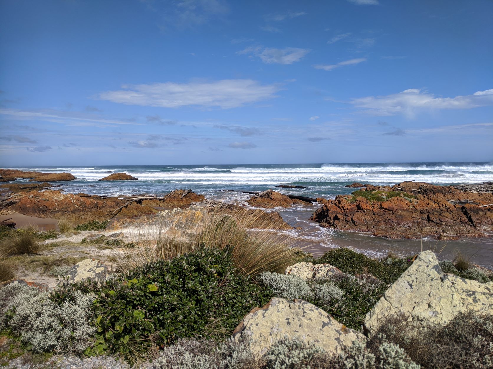
After crossing the bridge at Arthur River we decided to find a spot to stop for a break and enjoy a late morning tea and so visited a spot just past the bridge call the Edge of the World. The name for this little lookout point couldn’t had been more correct. With a short boardwalk around the rugged coastline with more driftwood then I’ve ever seen piled below and huge surf crashing on the beach it really felt like we’d found the worlds edge. The was another spot that Hugo had to drag me away from as I sat mesmerised by the swell and surf hitting the beach. But eventually, after our morning tea break, we left this amazing little lookout and continued on our way south.
That day we drove along a road that was bordered by seemingly endless plains of button grass and towering mountain ranges. If we didn’t know it before we knew it then that we had truly entered the wild west coast of Tasmania as it felt like we’d returned to Port Davey. As we drove along that day there wasn’t a lot to stop for as we decided to miss the Tarkine because we were running low on fuel and had to make it last until we made it to Straun. So we kept driving admiring the scenery out our window and wishing that someone would come and resurface the road. The corrugations and potholes out this way made us glad that we had a 4WD as this was a truly horrible road to drive and even with our car it felt like our fillings would rattle out of our teeth if we drove to fast.
Eventually though we left the uncomfortable road behind and made it to Corrina, the first town we’d passed since the town of Arthur River. While here we got out the car and stretched our legs along the short Houn Pine Trail, which is a board walk that runs along the Pieman River. This was a lovely short walk and just what we needed to get the blood flowing back into our legs, we even saw one of the famous Huon Pine trees that the walk is named after. On returning to the car we then had to organise the crossing of the Pieman River which was done by a cable ferry as the closest bridge crossing was miles inland. So after paying the small fee we lined our car up and waited for the operator to arrive. We were the only car to make the crossing and so had the whole barge to ourselves. The crossing only took about ten minutes and was a fun little experience which saved us close to three hours of driving. With the ferry crossing behind us we then continued on our way. That afternoon we were aiming for Trial Harbour keen for a coastal camp as we were eager to avoid the leeches that I knew would be lurking in the wet rainforests of Western Tasmania.
It was just before sunset that we pulled into Trial Harbour and were stunned by the spectacular scenery and campsite that was literally on the waters edge. Although it had been a little out of the way we couldn’t have picked a better spot to stay the night as we witnessed the sun setting over the ocean which was only about 20m from our campsite. When we arrived we had just enough time for a walk along the beach which was being constantly pummelled by monstrous swell as this was another bay which was completely open to the huge swell of the southern ocean. It was as we were returning from our walk that the sun set and disappeared below the horizon creating an amazing sunset image as yellows and pinks lite up the sky and surf beach.
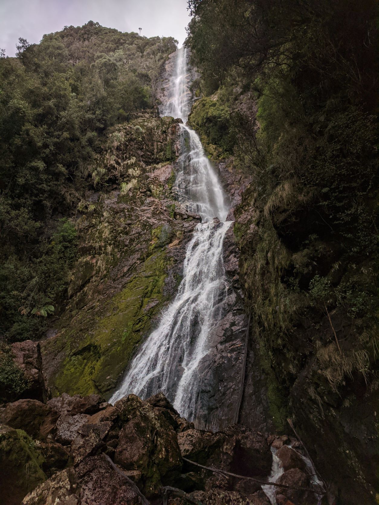
The following morning was another early rise as we had a big walk ahead of us that morning. We wanted to complete the Montezuma Falls walk which was 8km return. So after breakfast we completed a quick lap of the town of Trial Bay and then made miles towards the falls trail head. When we arrived it was just past mid morning and already the car park was fairly full. The walk out to Montezuma Waterfall was quite easy. The path was wide and well worn and the gradient flat so even though it was an 8km return walk it didn’t leave us feeling all that exhausted. This walk was through a fairly wet rainforest and when we saw the size of the waterfall we could understand why. The Montezuma waterfall fell from a height of 100m and was a breath taking sight when standing at the bottom of it. The day we were there the swing bridge to the other side was closed but we weren’t too troubled as the sight from the bottom of the falls was enough for me.
Following our walk we decided to head to Straun. This was another spot which we’d hoped to take the boat someday and so spent some time that day just driving around the town and checking out the harbour. We even tried to drive to the entrance of the King River thinking that this too might be somewhere we’d take Allagai up one day. However it turned out the entrance wasn’t accessible and especially after our long walk that morning we were starting to feel tired. So after thoroughly driving around the town of Straun we eventually turned our sights on finding a camp site for the night and aimed for Macquarie Heads.
It didn’t take us long before we arrived at the heads and headed for the main privately run campsite at the very end of the headland. However when we arrived we were a little disappointed. After so many beautiful campsites this one really didn’t live up to the standards so instead using our free camping app, Wikicamps, we turned around in search of a couple of bush camps shown on the app. In the end we couldn’t have found a better spot. Requiring a some 4WD’ing to reach we came across a little campsite on a cliff top overlooking Macquarie Harbour. The spot was beautiful and the perfect spot to stop for what at the time we didn’t realise was to be our last night camping.
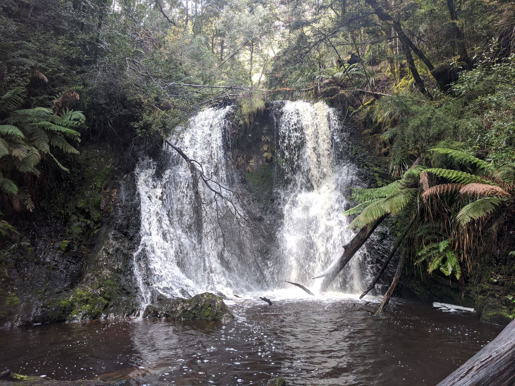
Waking early the next morning we headed off not long after sunrise as I had a jammed packed schedule of short walks that I wanted to complete that day. But first we had decided to return to Straun which was where we were to actually complete the first walk of the day out to Hogarth Falls. This was a small waterfall right in the middle of town accessed via a short walk along a river in a wet rainforest. I couldn’t believe that such a stunning little waterfall was right in the middle of town and wished that every town came with such a feature.
Following our short walk we started driving for the day and headed straight to Queenstown where we enjoyed a morning tea which we bought at the Railway Museum cafe. While in town we also enjoyed a rather intense but short uphill walk up to the Spion Kopf lookout point. This lookout gave us a lovely view of the town and also showed the shocking damage caused by mining on the surrounding hills and ranges. With this damage to nature in mind we retreated down from the lookout, which wasn’t nearly quite so challenging on the descend and returned to the car. Again as we drove out of town and continued our way south we were saddened by the landscape we saw. The whole area was brown and dead, only the hardiest of plants dared to grow on the barren landscape. Along the way we stopped at multiple lookout points to read about the sad history of mining in the area which had caused the land to become so barren from the toxic gases released in the mining process.
It was just as we’d left the barren wasteland of Queenstown behind that things started to get interesting that day. Since the start of our roadtrip we had driven close to 1000km and the whole time hadn’t had no issues. However it seemed that car wanted a break as just as we entered a valley and were driving a windy downhill road the car started to splutter until finally she stalled and came to a stop. Luckily Hugo was driving and was able to coast the car onto the side of the road. It was there that we sat for the next fourish hours as Hugo proceeded to try all manner of things to get the car going again. The worst part was that we had no phone signal to call for help so for a while I thought that this would be our camp for the night. Although throughout that time we had many friendly locals stop to offer assistance, most also offering lifts back into Queenstown should the car not start and advising us to walk a kilometre up the road to receive phone reception if needed. However by some luck Hugo managed to get the car started after many hours of tinkering under the hood and so this brought us to the end of our roadtrip. Our trusty little car obviously need some down time so we proceeded to limp our way back to Cygnet, driving slow and not turning the car off again. Although the trip had ended a little abruptly we couldn’t have asked for a better week out exploring Tasmania and had seen many places that we’d love to go back and explore which without our car we would have never made it to in the first place.