April 2021
We left Eden about mid morning heading north turning 20 miles into 120 when our final destination became Jervis Bay. When we’d left Eden we had originally planned to only go as far as Tathra a little headland 20 miles north. But as soon as we were out of Twofold Bay (Eden) it became apparent that with the direction of the swell Tathra would offer little protection and be quite uncomfortable and rolly. So this led to the first change of plans, instead of Tathra we would aim for Bermagui which was 40nm from Eden.
The day we left Eden we were cursed with little to no wind as once again the forecast was wrong so we spent most of that first day motor sailing. We passed Tathra a couple of hours before sunset and reached Bermagui about midnight. But we quickly realised that unless we went through the bar that the outside of Bermagui would also be open to the swell. It was also as we were passing Bermagui that the wind finally decided to freshen. So this led up to the second change of plans, instead of tackling a bar crossing at night we decided to keep going. With wind in the sails we could turn the engine off as we were suddenly moving at 4-5kts and figured that there was no point in wasting a good wind. So the decision to keep sailing was made for us, this time aiming for Batemans Bay, 80nm from Eden or a further 40nm for Bermagui.
That night I took the 12-4am watch and for once had wind my entire watch with smooth sailing all night. To our delight this also continued all through Hugo’s watch which is why when we came to Batemans Bay we decided once again to change plans and keep going. We had arrived on sunrise and the day had barely started and we were forecast for southerlies for the rest of the day. So with this in mind we figured what was the point in stopping, the sails were already up and we had our sea legs. This was great for the first couple of hours but by mid morning we were having second thoughts. The wind had started to ease until we were completely becalmed and the sea state left behind had become quite uncomfortable. This forced us to once more start the engine or bob around like a cork in the 1-2m seas left over from the wind.
That day we were aiming for Jervis Bay, 50nm from Batemans. We had turned a 20nm afternoon sail into a 120nm overnight sail. Arriving in Jervis Bay just as the last light was fading we decided to drop anchor well away from the shore in about 12m of water. Jervis Bay is full of marine park zones and protected sea grass beds so only allows anchoring in certain spots. The beach we anchored off of was called the Hole in the Wall and has extensive sea grass beds, as such it is prohibited to anchor in less the 10m of water but there were 5 public moorings in close to the beach. However the night we sailed in they all appeared full in the dark leaving us little choice but to anchor out deep.
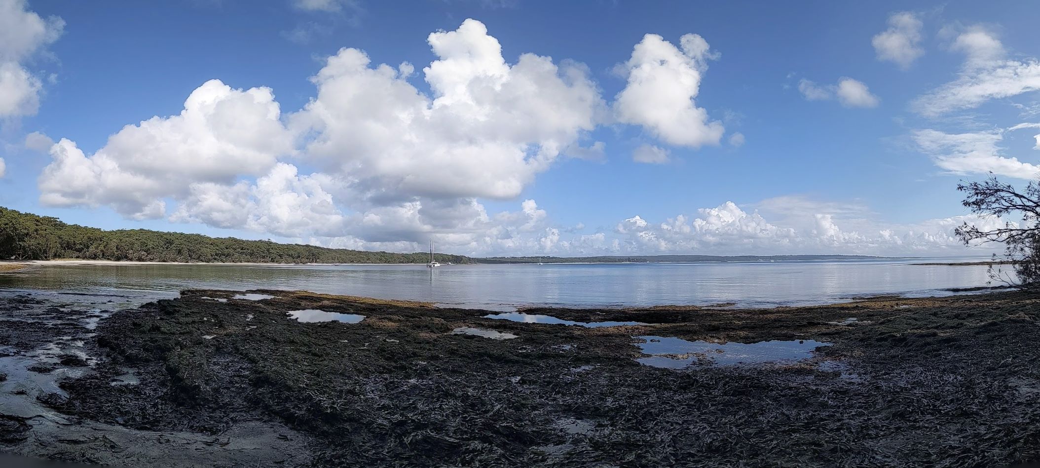
The following morning we woke to our first sight of Jervis Bay and weren’t disappointed by what we saw. Beautiful white sandy beaches, green forests to the waters edge and clear water. Not long after we woke up multiple boats on the public moorings left so we weighed anchor and picked up one of the moorings in close to the beach. No sooner had we picked up the mooring the entire boat was surrounded by a large school of small fish. We were amazed by the amount of sea life and clarity in the water, in 4m we could clearly see the sea grass and fish beneath us. After seeing this we were keen to go ashore and check out potential snorkelling places. So we ate a hasty breakfast and then launched the dinghy, which had been stowed on deck while were had been at sea.
Once ashore we had a quick walk along the beach, scoping out the best places to come back for a swim and snorkel. Not wanting to waste such a good morning, as we were forecast for cloud and rain that afternoon, we went back to the boat and collected all our swimming gear. We spent about an hour snorkelling along some rocks running off the beach. I was stunned by the amount of marine life, with many schools of smaller fish and some larger fish swimming in between. The rocks were covered in sea anemone and the sandy bottom covered in sea grass, there was life to be seen everywhere. However even with wetsuits eventually we started to feel the chill and were forced to leave the water and return to Allagia to warm up. Although we were so awed by what we saw that we went for a second snorkel after lunch, again amazed by what we saw.

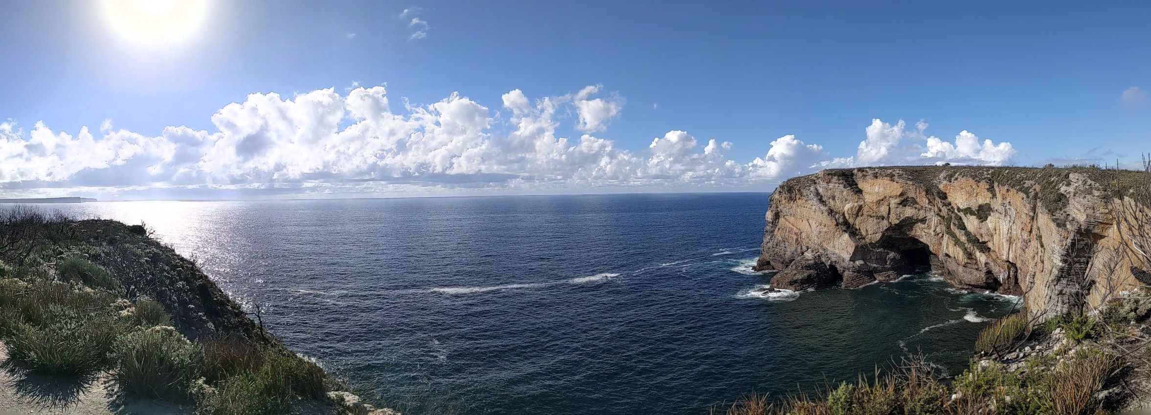
The following day we were due for a wind change in the afternoon however we wanted to go for a walk to the end of the peninsula. So conscious of the time limit created by the changing weather we were up and out of bed at first light and ashore by eight O’clock. We started by walking along the road to Murrays Beach at the end of the peninsula and when we got there were greeted with spectacular views of Bowen Island. From here we decided that rather then return along the road we would return via the cliff side track. This was a very nice walk through low coastal scrub along what seemed to be an old 4WD track. Along the way we caught glimpses of the open ocean, distant headlands and had stunning views of waves crashing into the cliffs below us. By the time we returned back to the beach we had walked a total of 8km all before mid morning and were back on Allagai just in time to move the boat before the wind change arrived.

Before leaving this side of the bay however we had noticed something a bit odd, Navionics had added a state border around the peninsula. Upon further research we found out the indeed we had crossed a state border without realising it. Apparently we had left NSW behind and had entered ACT waters, which is for all intents and purposes is a landlocked state but owns Jervis Bay Territory. The whole reasoning behind giving ACT this small, unconnected to its own state, piece of water frontage was so that the capital city of Australia would have jurisdiction over at least one port. This was apparently all decided in the early 1900’s and is still enforced today however for us it was a little bit of a surreal feeling as it only encompasses this one peninsula. As upon inspection we found that indeed the area had ACT post codes, laws and apparently number plates. So when we weighed anchor that afternoon and headed across to the other side of the bay we actually crossed the border once again back into NSW.
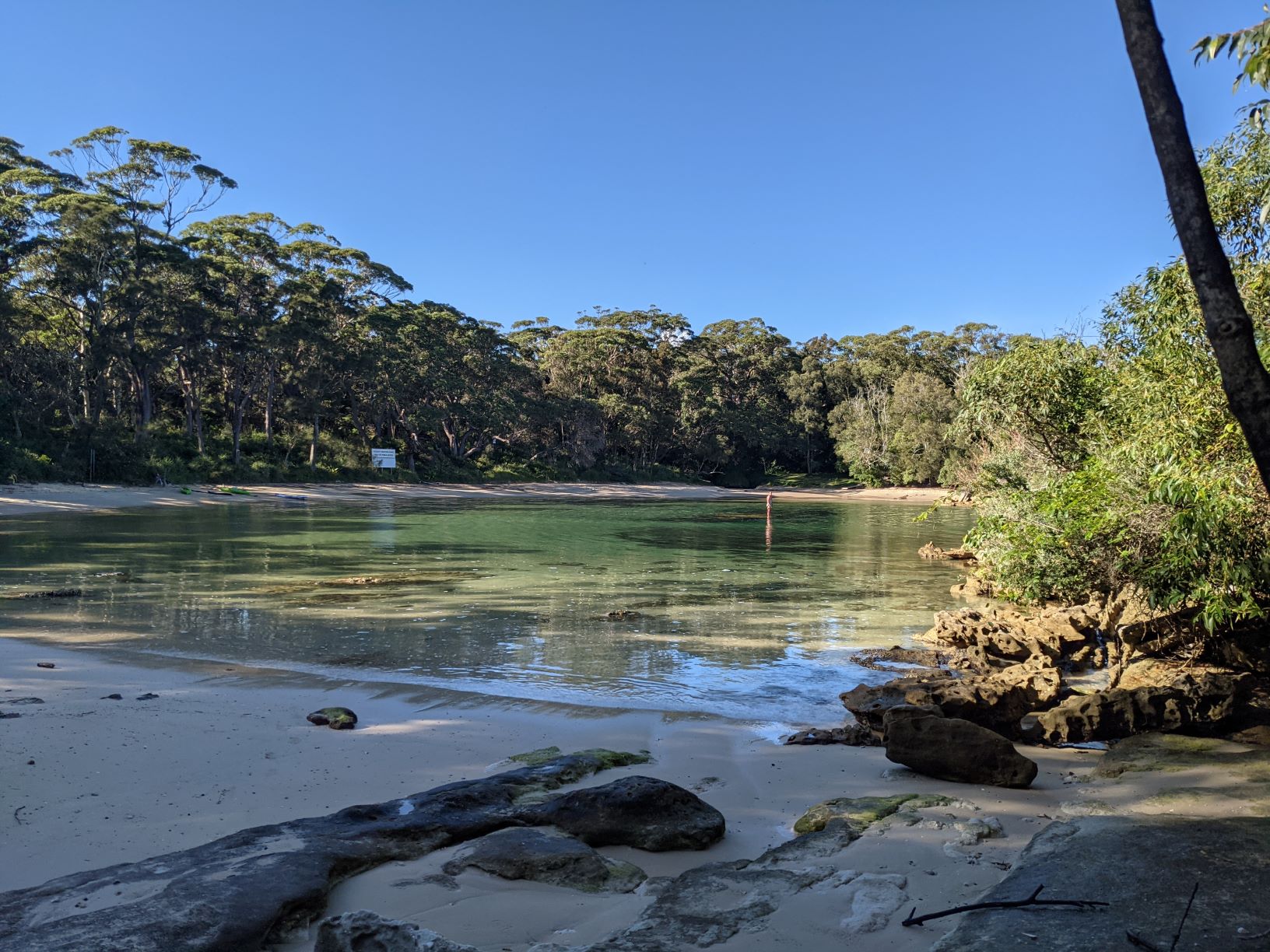
That afternoon we headed over to the eastern side of the bay and anchored off of Bindijine Beach. We had chosen this spot particularly for its proximity to the nearby Honeymoon Bay which we had heard was a cool spot to snorkel. However after our morning hike we didn’t really have the energy or daylight to go swimming that afternoon. So once again we were up bright and early the following morning heading to the beach for a snorkel before lunch. Although the water was a little chilly we weren’t disappointed by what we saw underwater with sea grass beds, small kelp forests and rocky out crops all with plenty of fish swimming about. However at the end of our snorkel we made a quick exit of the water when we found two poisonous Blue Bottles (jellyfish like things) drifting in the swallow warm water.

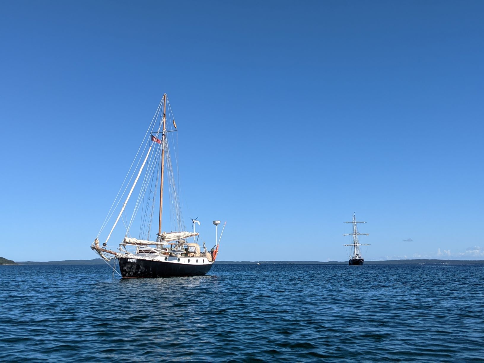
After our pleasant morning swim in a very picturesque bay we headed back to Allagai and decided to weigh anchor to find a better spot for that days wind direction. Although we weren’t going far, only 1.5nm north. We had decided to anchor off of Long Beach but it turned out that we weren’t the only boat with this idea. As not long after we dropped our anchor the tallship Young Endeavour dropped their anchor a few hundred meters behind us, the boat which I had sailed on nearly ten years ago and been the beginning of my sailing adventure.

That day we had beautiful sunny warm weather with barely a cloud in the sky, an afternoon too good to not go for another swim. So we packed up the snorkel gear once more and headed ashore in the dinghy, aiming for a small rocky outcropping that looked like the perfect snorkelling spot. We spent just over an hour in the water amazed by the large schools of fish of various species swimming just under the waters of this rocky headland. While underwater we also came across two medium sized stingrays 50-70cm at their widest points, giving me a slight scare as they swam out of the murky distant waters towards us. After our second snorkel of the day we were feeling well and truly exhausted ready to spend a few hours just relaxing on Allagai.
The following morning we were up early expecting a change from the south which was forecast to bring moderate winds. So with this in mind we had to once more weigh anchor and head to a new anchorage if we wanted protection. That day we decided to head to the western side of the day and anchor off of the town of Vincentina off Collingwood Beach. We left Long Beach with heavy over cast skies which on the way to our new anchorage turned to rain. We dropped anchor off Collingwood Beach in pouring rain thinking it would be a while before it cleared up. However within the hour the rain stopped and the cloud cover disappeared leaving blue skies and warm sunshine. Since the weather had become so nice we were eager to go ashore and check out the town, also in need of a few fresh supplies from the local supermarket. Following our trip ashore we spent the rest of the afternoon aboard Allagai preparing her for sea. As the following day we had nice weather to continue our journey north, hoping to arrive in Port Hacking in a few days time.