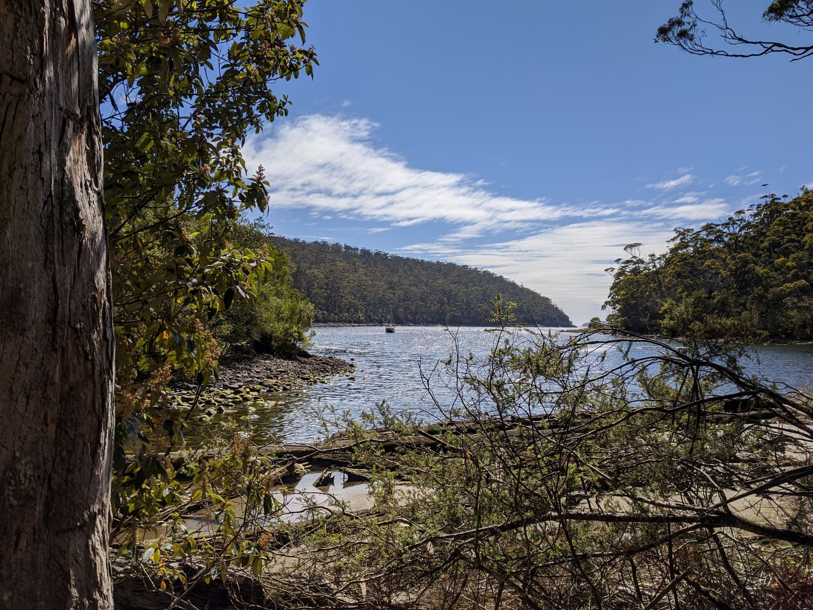
December 2019
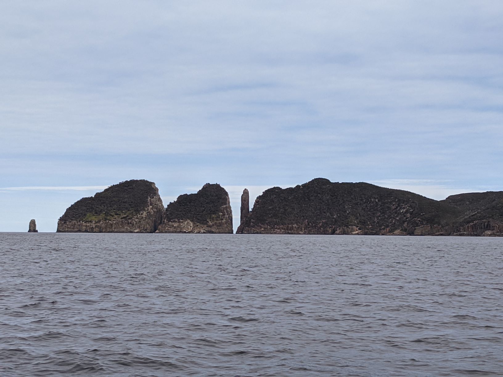
The sail to Fortescue Bay was a spur of the moment decision, with weather too good to miss we left Pirates Bay and before we knew it we were motor sailing past the spectacular cliffs of the Tasman Peninsula. The distance between Pirates Bay and Fortescue Bay was only about 8nm, so at less then 10nm this was the shortest leg to date and we were expected to be there within a couple of hours. That afternoon we had very little wind but wanting to enjoy the serenity and scenery we decided to spent the first hour drifting without the motor. We were barely making a knot but it didn’t matter the seas were flat and we had beautiful scenery. Blue skies, white cliff faces and rolling green mountains it was the kind of day we lived for, the reason we pushed through the bad weather and hard times to get to enjoy days like this.
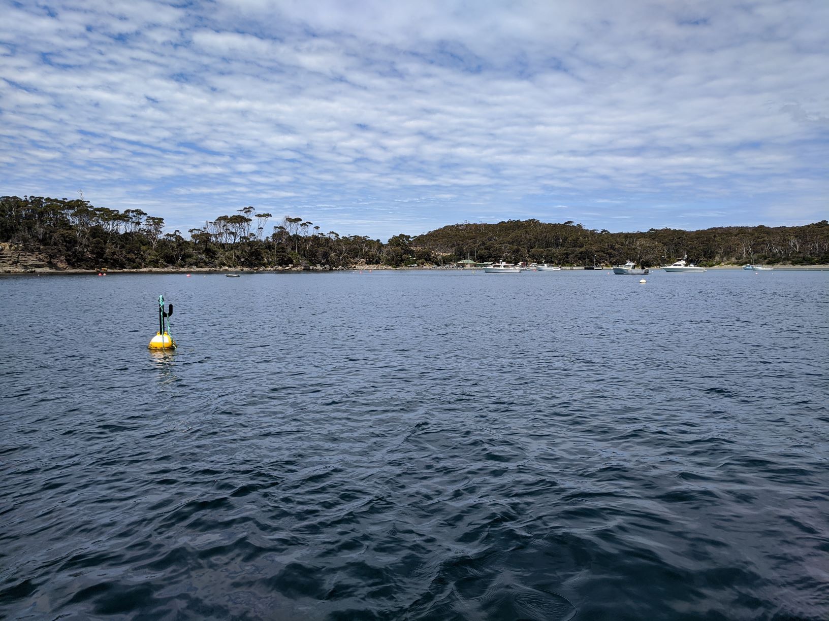
However as one hour rolled into two and we approached the third we decided that we needed to make a little more speed if we wanted to anchor that day let alone before dark that night. So as things go we had to start the engine, saying good-bye to the peace and quiet but that didn’t stop us from still enjoying the wonderful scenery. Fortescue Bay was probably one of my favourite spots to visit to date, not only was the scenery on the sail down magnificent the bay itself was truly beautiful. Sailing into the bay you had a real sense of being remote and all alone. The mountains in the background rolled right down to the waters edge ending either in cliff faces or pebbly, rocky beaches. The bay gave the sense that people hadn’t disturbed this land, with untamed forests towering over the beaches, although upon closer inspection you could seen where man had been. A small camp could be seen at one end of the bay and a walking trail around the edge.
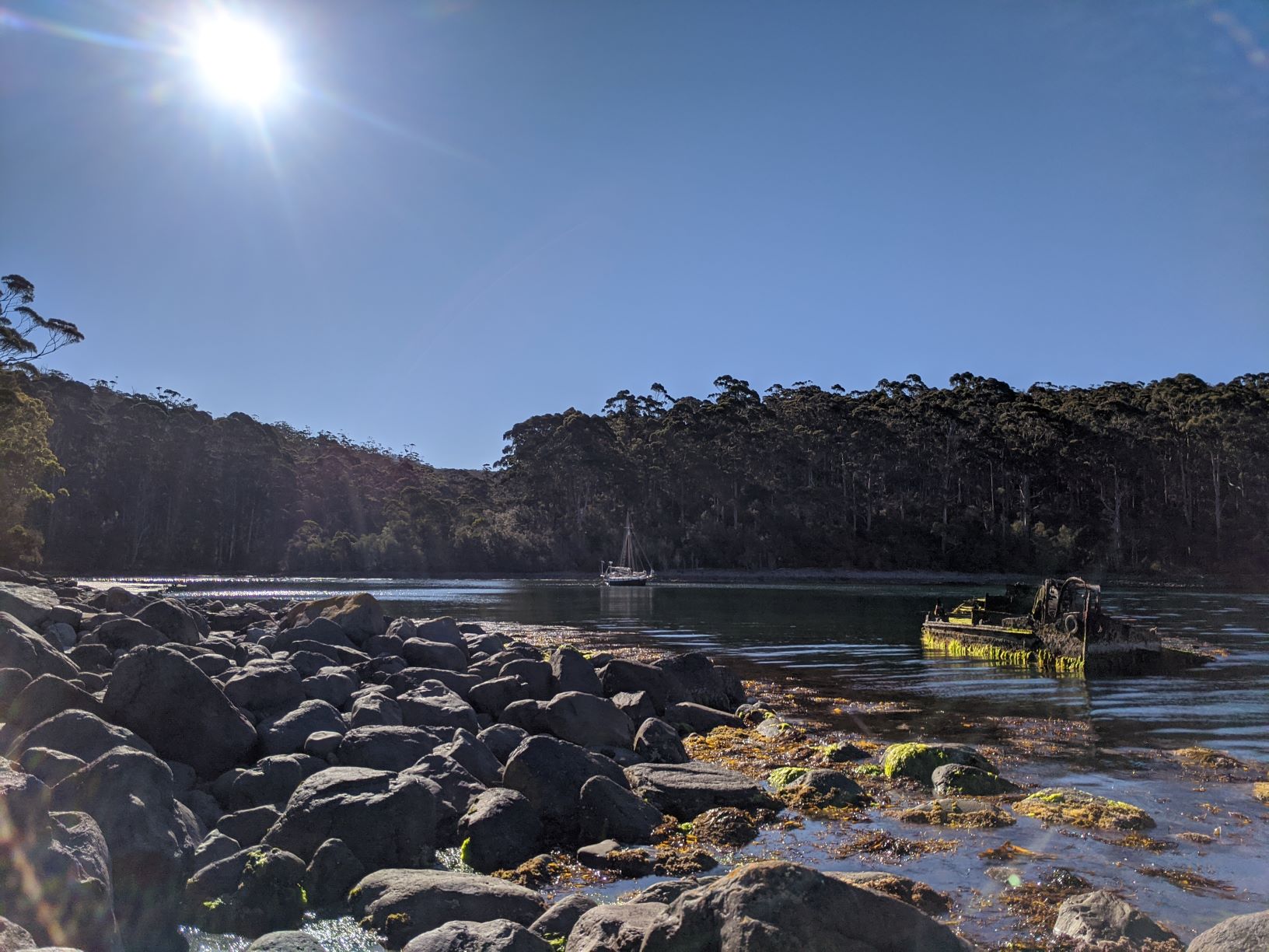
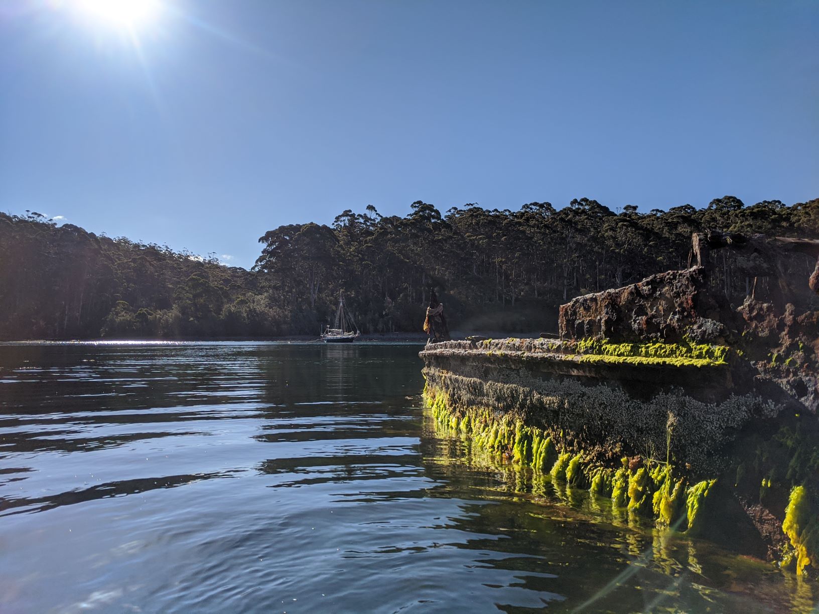
Fortescue Bay was actually made up of two bays and it was the smaller of the two located in the north western corner, called Canoe Bay, that we decided to anchor in. The entrance to Canoe Bay was quite narrow at only about 100m wide, but what made it particularly difficult to get into was the partly submerged wreck at the entrance. When we motored into the bay a little of the wreck was visible above the water. However based on the growth and algae present we were pretty certain that sometimes it would become fully submerged and you wouldn’t even know it was there.
Not long after dropping the anchor we were itching to go ashore to check out the wreck, so for the second time that day the dingy was back in the water to take us exploring. Even though we’d been there less then 2 hours the tide had already started going out uncovering more and more of the wreck. Unfortunately there wasn’t any information about the wreck in the bay or surrounding area. Although a quick google search later told me that she was an old steel barge by the name William Pitt. Information online says she worked in the 1940s around Hobart, but was later scuttled in the 1950s to create a breakwater for small boats seeking shelter in Canoe Bay. Although it wasn’t a great ship wrecking story like we had hoped the old wreck was doing its job perfectly, as Canoe Bay was a lovely spot to anchor with absolutely no swell thanks to the wreck. While ashore exploring the area I also stumbled across another walking track and although it was a little late for second hike that day we were set for more good weather the next day.
Therefore bright and early the next morning I packed the hiking day bags and before the day got too hot we were ashore for another short walk. The walking track was actually part of the much longer Tasman Peninsula Trail but we were only going to walk the section from Canoe Bay to Cape Nola. This was another pleasant walk through a range of different environments, we started in a fairly dense forest in Canoe Bay but as we gained altitude the landscape quickly gave way to a more rocky terrain and sparser forest. We then descended back into a valley and entered a small rainforest, where there was a hikers camp for those doing the whole trail. Through this camp ran a small freshwater stream which we had to cross to get to Cape Nola. Thankfully though we didn’t have to get our feet wet to cross the creek as there was a trail of rocks poking above the water that we were able to rock hop across. After crossing the creek we were back to gaining altitude, topping out at about 100m when we reached Cape Nola and were walking along the edge of the cliff, with a sparse, rocky forest to our left and a view of the open ocean to our right. We continued along the cliff for about half an hour enjoying the view but also trying to find phone reception, as down in Canoe Bay we didn’t have any. This was a side mission to our exercise and walk as we needed to find signal so we could get an updated weather forecast, because we were thinking about continuing on sailing the next day. It wasn’t long before we were rewarded and found the phone signal we were after and downloaded the next weather forecast which did indeed show that the next day was good weather to get out and continue sailing.
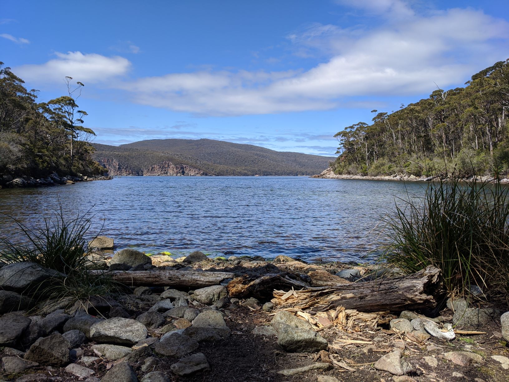
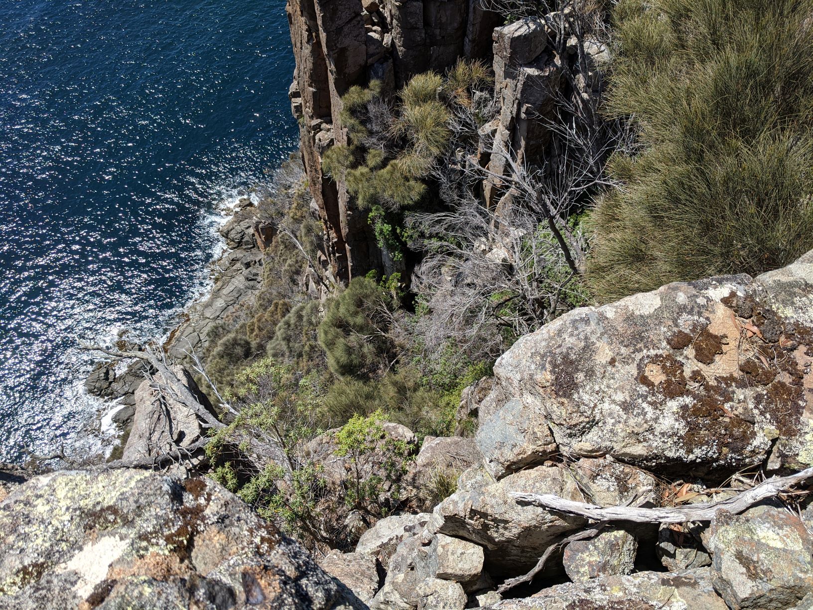
By this point it was coming up to lunch and we had only packed a few snacks for our walk so with one last look at the stunning cliffs and open ocean we turned around and re-traced our steps back to Canoe Bay. That day, at least by my standards, it was a relatively short walk of only about 7km but the multiple up and down sections made it feel a lot longer. Back on Allagai we spent the reminder of the afternoon getting her ready for sea. Stowing everything away back into their proper locations, ensuring we were ship shape because the next leg of our journey was going to take us out and around the tip of the Tasman Peninsula, between Tasman Island and Cape Pillar. We were about to say good-bye to the relatively calm and flat waters of the Pacific Ocean or Tasman Sea because once we rounded the peninsula we would be re-entering back into the Indian Ocean and the southern swell. Which from past experience from along the South Australian and Victorian coast we knew that this water had much larger swell. So after a month of flat water sailing we wanted to make sure we were prepared if things got bumpy on our way to Port Arthur.
